


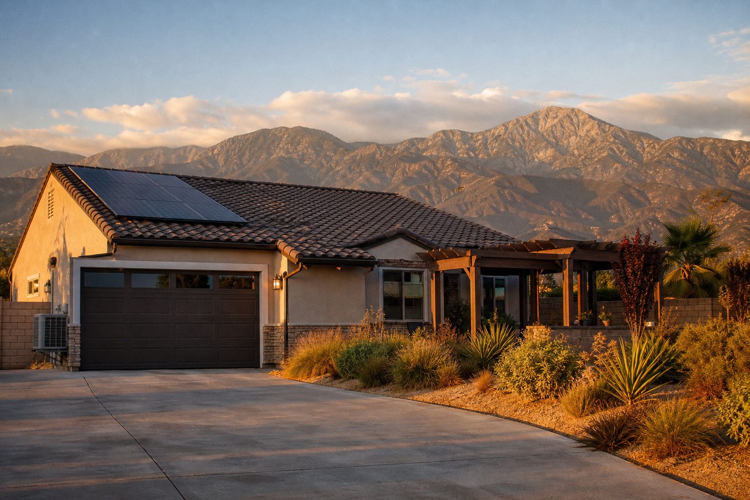
How hot does it get in Rancho Cucamonga, and how windy is it?
Rancho Cucamonga summers bring average highs in the low-to-mid 90s with heat waves that push past 100°F, and Santa Ana winds from fall through winter can gust above 60 to 80 mph. Most residents live comfortably year-round when their home is built for it.
Why This Matters Right Now in Rancho Cucamonga
If you are inheriting a home in Rancho Cucamonga, relocating from the coast, or preparing to sell, the climate is not just small talk. It directly affects your property value, your utility costs, your insurance, and your quality of life. Rancho Cucamonga sits at the base of the San Gabriel Mountains in the Inland Empire, roughly 37 miles east of Downtown Los Angeles. That geography delivers more sunshine, more space, and more square footage per dollar than coastal communities. But it also means hotter summers and some of the strongest Santa Ana wind events in Southern California.
Understanding the climate helps you make smarter decisions. Buyers can evaluate whether a home’s HVAC, insulation, and roofing are truly ready for this environment. Sellers can highlight upgrades that command premium offers. And if you have recently inherited a property, knowing which climate-ready features are already in place (and which are not) helps you price the home accurately from day one.
Rancho Cucamonga Weather Month by Month
Here is what to expect throughout the year, based on historical climate data compiled from Ontario International Airport station records and multi-source 1991 to 2020 climate normals (the closest long-running NOAA-reporting station, located roughly seven miles south of Rancho Cucamonga).
- January: Average high around 65°F, average low around 45°F, approximately 2.57 inches of rain
- February: Average high around 67°F, average low around 47°F, approximately 2.90 inches of rain
- March: Average high around 72°F, average low around 50°F, approximately 1.80 inches of rain
- April: Average high around 78°F, average low around 54°F, approximately 0.60 inches of rain
- May: Average high around 84°F, average low around 58°F, approximately 0.30 inches of rain
- June: Average high around 91°F, average low around 63°F, approximately 0.04 inches of rain
- July: Average high around 97°F, average low around 68°F, approximately 0.01 inches of rain
- August: Average high around 99°F, average low around 69°F, approximately 0.02 inches of rain
- September: Average high around 94°F, average low around 65°F, approximately 0.20 inches of rain
- October: Average high around 84°F, average low around 59°F, approximately 0.72 inches of rain
- November: Average high around 73°F, average low around 51°F, approximately 1.10 inches of rain
- December: Average high around 64°F, average low around 43°F, approximately 3.90 inches of rain
- Annual averages: Roughly 81°F high, roughly 56°F low, approximately 14 to 17 inches of total rainfall (sources vary)
Keep in mind that July and August average highs in Rancho Cucamonga proper tend to run a few degrees warmer than Ontario Airport readings due to elevation differences and proximity to the foothills.
What does this mean in practical terms? You get a true Mediterranean climate: hot, dry summers and mild, rainy winters. If you are coming from coastal Orange County or the Westside, expect your summers to feel noticeably warmer, roughly 10 to 20°F hotter on peak days. But winters are pleasant, frost is rare, and you will enjoy significantly more clear-sky days.
How Hot Does Rancho Cucamonga Get in Summer?
We want to give you the honest picture, because we have seen too many relocating families get surprised after they have already closed escrow.
Rancho Cucamonga averages approximately 83 days per year at or above 90°F, per historical climate data. That is nearly three full months of consistent heat. The warmest month is typically August, with an average high around 95°F (some sources show averages from 93 to 99°F depending on the specific station and period measured).
Heat waves, typically defined as three or more consecutive days above 100°F, happen here. They usually strike in July, August, and occasionally into September. Ontario Airport, just south of Rancho Cucamonga, recorded 113.6°F during an extreme heat event in September 2020, according to weather station data. That gives you a sense of what an exceptional heat event looks like in this part of the Inland Empire.
Dry Heat Makes a Real Difference
One thing that surprises coastal transplants is that humidity levels in Rancho Cucamonga remain relatively comfortable throughout the summer. This is dry heat. While 95°F here is genuinely hot, it feels materially different from the sticky, muggy heat of the East Coast or even some coastal marine-layer days. Shade, hydration, and a properly sized HVAC system make this climate livable and enjoyable for most families.
Late summer occasionally brings a wrinkle: tropical moisture can funnel inland and briefly spike humidity into the 60 to 70 percent range. On those days, even 90°F feels heavier than usual. It passes quickly, but it is worth knowing about.
Heat Safety From Our Team’s Perspective
Before we got into real estate, we spent seven years as an EMT and paramedic responding to emergencies across the Inland Empire. We saw heat-related illness every summer, and it was almost always preventable. The biggest risks are for older adults, young children, and pets.
Heat exhaustion, which includes heavy sweating, weakness, nausea, and dizziness, can escalate to heat stroke if untreated. Heat stroke is a medical emergency where the body stops sweating and core temperature rises dangerously. If you or anyone you are with stops sweating and becomes confused in the heat, call 911 immediately.
Practical steps that save lives: hydrate before you feel thirsty, stay indoors during peak afternoon hours, never leave anyone (including pets) in a parked car, and check on elderly neighbors. This matters especially if you have inherited a home and are spending time clearing it out during summer months.
How Windy Is Rancho Cucamonga? Santa Ana Wind Events
This is something we talk about with almost every buyer we work with, because the wind is probably the single most underestimated climate factor in Rancho Cucamonga.
What Are Santa Ana Winds?
The National Weather Service defines Santa Ana winds as strong, hot, dust-bearing winds that descend to the Pacific Coast from inland desert regions. They develop when a strong high-pressure system over the Great Basin creates a steep northerly pressure gradient across Southern California, funneling cooler, dense inland air through mountain passes and canyons toward warmer coastal regions. Santa Ana season typically runs from October through March, with the most intense events in late fall and winter.
Why Rancho Cucamonga Gets Hit Hard
The city sits at the base of the San Gabriel Mountains, and neighborhoods like Alta Loma and Etiwanda sit near canyon mouths that act as natural wind funnels. The Cajon Pass influence is significant in northeast Rancho Cucamonga. Areas near Day Creek, Wilson Avenue, and the Etiwanda corridor consistently experience stronger gusts than the south side of the city.
The January 2025 windstorm brought gusts exceeding 65 mph across the city, causing downed trees, damaged fencing, and infrastructure impacts. A Southern California Edison weather station in Rancho Cucamonga recorded an 83 mph gust on January 8, 2025, according to SCE data. In December 2025, Governor Newsom proclaimed a state of emergency for the City of Rancho Cucamonga due to that storm’s damage.
The January 2025 Santa Ana winds also fueled the devastating Southern California wildfires. Those winds persisted on and off for 24 days, from January 6 through January 31, 2025.
What Happens During Wind Events
During high-wind events, the city asks residents to secure patio furniture, trampolines, and loose items; report downed trees in roadways through the Police Department’s non-emergency line; call 911 for downed power lines; and report non-emergency damage through the city’s RC2GO portal. Southern California Edison may issue Public Safety Power Shutoffs (PSPS) during high fire danger, which can cut electricity for hours or days.
Red Flag Warnings, issued by the National Weather Service when conditions favor rapid fire spread, are common during Santa Ana season, especially in foothill neighborhoods closer to the wildland-urban interface.
Winter, Rain, and the Upcoming El Niño Season in Rancho Cucamonga
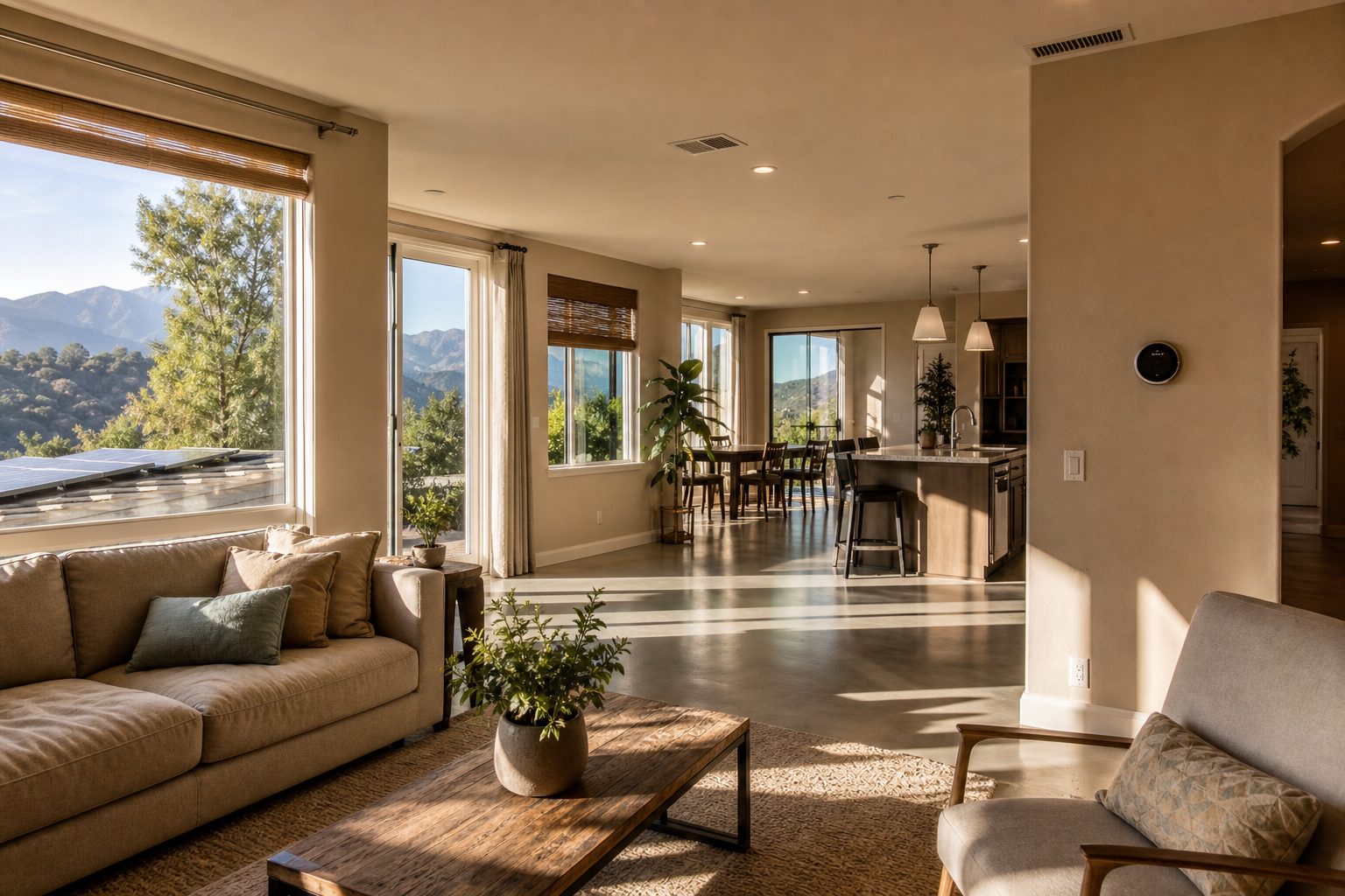
Winters in Rancho Cucamonga are mild and pleasant, with average highs in the low-to-mid 60s during December and January. Frost is rare, and snow is essentially nonexistent in the city itself, though you can often see fresh snow on the San Gabriel Mountains above after winter storms.
Most of the city’s roughly 14 to 17 inches of annual rainfall arrives between November and March, per climate normal data. December is typically the wettest month at approximately 3.90 inches.
Here is a timely concern: Governor Newsom proclaimed a statewide state of emergency on September 21, 2026, ahead of a potentially very strong El Niño season. Strong El Niño patterns often bring more frequent and intense winter storms to Southern California. If you own or have inherited property in Rancho Cucamonga, now is the time to check drainage, gutters, roof condition, and grading around the foundation.
The Home Features That Matter Most in Rancho Cucamonga’s Climate
Whether you are buying, selling, or evaluating an inherited property, these are the features we always walk through with our clients because they directly affect livability, utility costs, and resale value in this climate.
HVAC Systems
- Check the age, SEER rating, and zoning. A system older than 15 years is likely due for replacement, and an undersized unit will struggle during 100°F heat waves.
- Ask for service records. A well-maintained system is a major selling point.
Solar and Battery Backup
- Determine whether panels are owned or leased, and understand current NEM (Net Energy Metering) rules. Owned solar adds more value at resale.
- Battery backup matters during PSPS shutoffs, especially in foothill neighborhoods of Alta Loma and Etiwanda.
Windows and Insulation
- Dual-pane, low-E glass windows reduce cooling costs significantly. Single-pane windows are a red flag in this climate.
- Check attic insulation depth and whether a radiant barrier is installed.
Roofing
- Condition and age matter, but so does wind-rated installation. After the 83 mph gust recorded in January 2025, we have seen buyers ask specifically about roof securement methods.
- Tile roofs are common and perform well in heat, but loose tiles become projectiles in high wind.
Shade and Outdoor Living
- Patio covers, pergolas, and home orientation affect how much direct sun hits windows. West-facing walls and windows get the worst afternoon heat.
- Mature trees provide excellent shade but can pose wind risk if not properly maintained.
Fencing and Gates
- Wind-resistant construction is not optional here. The January 2025 storm destroyed thousands of wood fences across the city. Block walls and properly reinforced fencing hold up dramatically better.
Pools
- A pool is genuinely useful in this climate. During the roughly 83 days above 90°F each year, a pool provides daily relief for families.
Landscaping
- Drought-tolerant and fire-wise plantings are practical choices that appeal to buyers and reduce maintenance. This matters more in foothill neighborhoods closer to the wildland-urban interface.
Newer Construction
- Homes built to California’s Title 24 energy code standards include better insulation, higher-performance windows, and solar on new construction. These homes typically have lower utility costs and better climate resilience.
Selling a Rancho Cucamonga Home? How to Market Climate-Ready Features
If you are preparing to sell, especially if you have inherited a property, the climate-ready upgrades already in place can significantly affect your sale price. Pricing right from day one matters more than ever in the current market. Home values in Rancho Cucamonga have appreciated 18.8% over the last five years, per Amortio data as of April 2026, and the market has stabilized into a balanced environment where presentation and pricing are key.
Here is what we recommend highlighting:
- HVAC upgrades: A recently replaced, high-SEER system is one of the most compelling upgrades for buyers in this climate
- Owned solar panels: Document the system size, age, production history, and whether it is owned outright
- Dual-pane windows and insulation: Buyers notice the difference the moment they walk in during a July showing
- Wind-resistant fencing and a newer roof: After the January 2025 storm, these features carry real emotional weight with buyers
- Shade structures and mature landscaping: Stage your outdoor living areas for evening entertaining, because that is when Rancho Cucamonga residents actually use their yards
If you are unsure what your inherited or current home is worth, start with a professional valuation. We help sellers at every price point across Rancho Cucamonga, from neighborhoods in the high $700,000s to foothill communities like Etiwanda where values typically command premium prices.
Frequently Asked Questions About Rancho Cucamonga Weather
How hot does it get in Rancho Cucamonga in the summer?
Average summer highs range from the low 90s in June to the mid-to-upper 90s in July and August, based on climate normal data from the Ontario Airport station. Heat waves can push temperatures above 100°F, with the most extreme events reaching well beyond that threshold. The city averages approximately 83 days per year at or above 90°F.
What is the hottest month in Rancho Cucamonga?
August is typically the hottest month, with an average high around 95°F, per historical climate data. July is a close second. Both months bring the highest likelihood of extended heat waves.
Does Rancho Cucamonga get Santa Ana winds?
Yes, and the city is particularly exposed because it sits near the base of the San Gabriel Mountains. Canyon mouths and the Cajon Pass corridor funnel wind through northeastern neighborhoods like Alta Loma and Etiwanda. A Southern California Edison weather station in Rancho Cucamonga recorded an 83 mph gust on January 8, 2025.
When is Santa Ana wind season in Rancho Cucamonga?
Santa Ana season typically runs from October through March, with the most intense events in late fall and winter. The January 2025 windstorm persisted on and off for 24 days, per weather records.
Why is Rancho Cucamonga so windy?
The city’s geography creates a natural funnel effect. The San Gabriel Mountains to the north and the Cajon Pass to the northeast channel descending high-pressure air through canyon mouths, especially in the Alta Loma, Etiwanda, and Day Creek areas.
How much rain does Rancho Cucamonga get?
Annual rainfall ranges from approximately 14 to 17 inches, with most precipitation falling between November and March, per climate normal data. December is typically the wettest month at approximately 3.90 inches.
Does it snow in Rancho Cucamonga?
Snow in the city itself is extremely rare. However, residents regularly see fresh snow on the San Gabriel Mountains above after winter storms, which is one of the visual perks of living at the base of the range.
What is a Public Safety Power Shutoff?
Southern California Edison may proactively shut off power during extreme wind events and high fire danger to reduce wildfire risk. PSPS events are more common in foothill neighborhoods near the wildland-urban interface. SCE notifies customers in advance through phone, text, and email alerts.
What home features help with heat and wind in Rancho Cucamonga?
The most impactful features are a properly sized and modern HVAC system, dual-pane low-E windows, adequate attic insulation, wind-rated roofing, wind-resistant fencing, owned solar panels with battery backup, shade structures, and drought-tolerant landscaping.
Is Rancho Cucamonga a good place to live despite the heat and wind?
Absolutely.

Leave a Reply